ITRS - Slaying the Trail Rating Dragon
Issue 76 / Mon 10th Jul, 2023
We talk to Mischa, one of the founders of a new route grading system, ITRS.
“How techy is it?” my friend asks me as I try to convince Bob to join the ‘Big Epic Mission’ that I have planned for tomorrow. And it’s a great question indeed. I could tell him what he wants to hear and make sure he joins the adventure tomorrow, but I decided to give him an honest description instead.
I take a long hard think and mention the big rock drop halfway, the short section of exposed trail at the top and the tree rooted steep turns at the bottom. In terms of riding time I have done it in about 4-5 hours moving time and I remember the climb was a slog but that’s about as detailed as I could make it.


Now I am in the luxury position of riding bikes for 30+ years and capable of handling almost anything thrown in front of my wheels. He however only started riding 2 years ago, and just managed his first bunny hop. Oh and he has vertigo. So basically my description is pretty useless and he is left to the mercy of fate and my poor judgement to decide if he is going to have fun tomorrow.
This situation is actually a really common one, and although there are several trail rating systems in place across the globe, there was none that gave all the information you needed. Until now.
The system
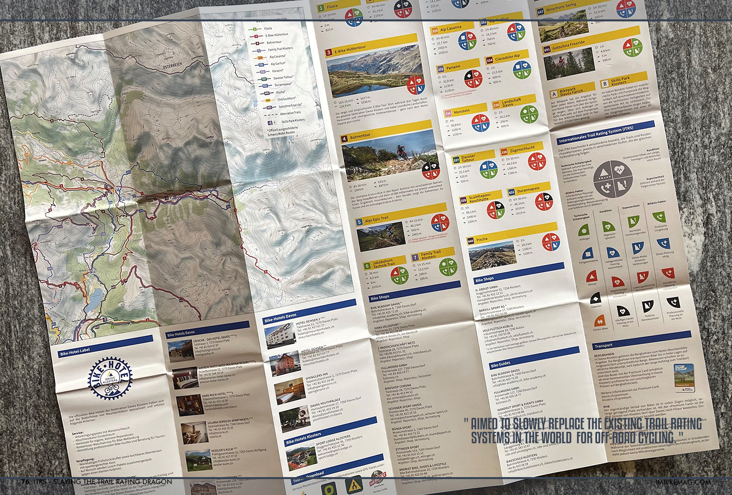
The International Trail Rating System or ITRS for short, is aimed to slowly replace the existing trail rating systems in the world for off-road cycling. By combining various existing systems and adding in any missing parameters, they aim to have a solid solution in place for grading bikeparks, purpose built features and obstacles, natural singletrack and anything in between.
By looking at the trail from a bikers perspective the rating system takes into account four main pillars that determine the difficulty of a ride.
Technical difficulty
Endurance
Exposure
Wilderness

The first parameter needs no real explanation, and is used on many different rating systems across the globe. By measuring the obstacles on a route, mandatory airtime, height of drops and difficulty level of trail features you can get a decent assessment of the technique needed to tackle a trail.
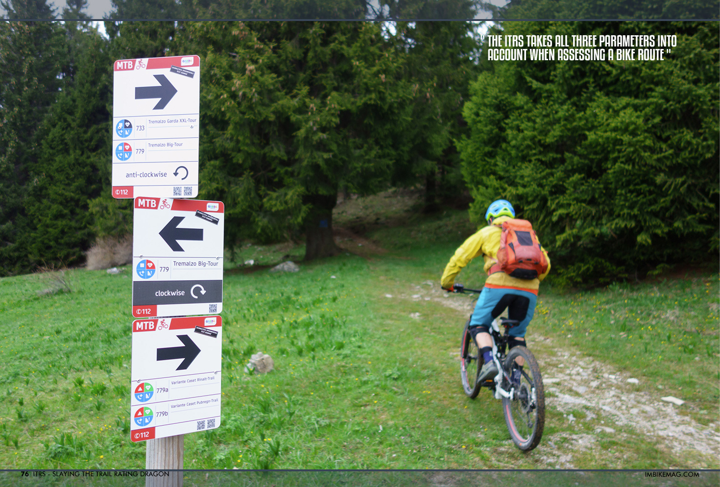
For the Endurance part of the rating, most systems only use the distance of a route and the amount of climbing involved to determine the difficulty level. But ask anyone that has ever spent time in a bikepark or has had more than 4000m of vertical drop to descend, they will clearly explain to you that riding a bike down a hill is extraordinarily tiring. The ITRS takes all three parameters into account when assessing a bike route, making sure you have more information at hand to decide if the route is for you.
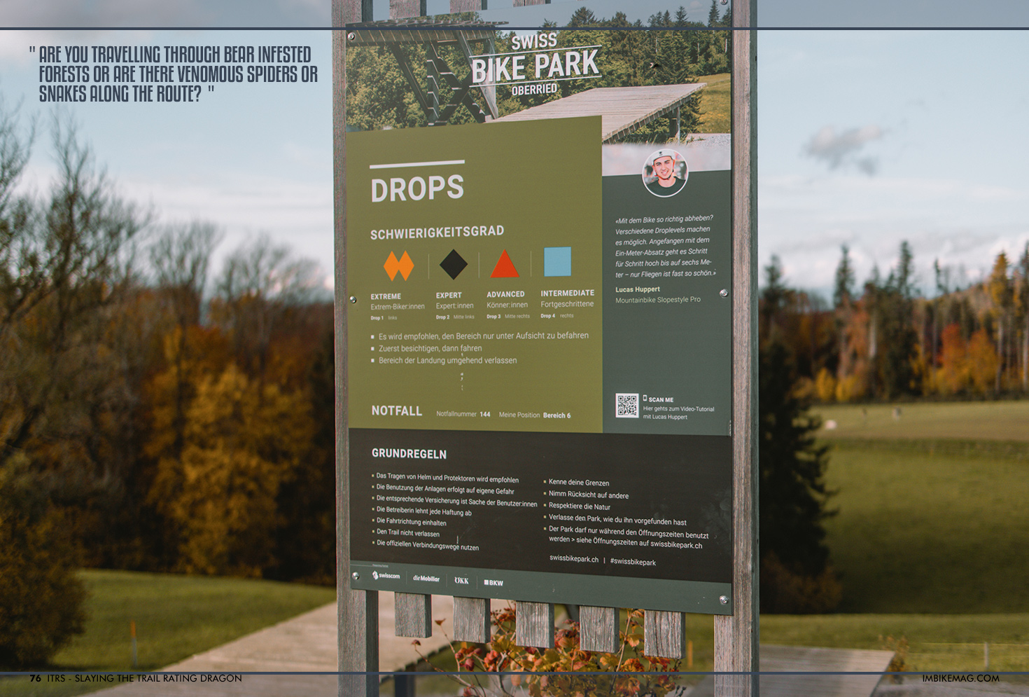
Exposure is another factor that was currently not treated separately by the North American IMBA rating system. Mainly because in that part of the world, almost all of the trails are purpose built, and who would make a bike trail on the edge of a cliff? In Europe and other parts of the world however, many bike trails originate (and still serve as) hiking trails, often used for centuries by adventurers, hunters and farmers to commute. A trail can be without any technical features but if death is imminent when you leave the trail, this should be announced in the rating.
The same thing goes for the wilderness element. Not only does this take the distance to civilization into account, but also if there are any water points along the trail, shops, cell phone reach or how easily a rescue operation can be executed if something goes wrong.
Also, wildlife can play an important role in your riding experience. Are you travelling through bear infested forests or are there venomous spiders or snakes along the route? Good to know!
As you can see this is quite an inclusive way to rate trails, and everything has been done to leave as little to chance and imagination as possible. Not only does this provide a good basis for riders to decide where to go, it also helps coaches develop skills courses, guides with communicating what level trails their customers can expect and bikeparks across the globe speak the same language to prevent accidents.
‘There’s an app for that’
As we’re well into 2023, there is an app for anything in life, and also the people behind the ITRS are working hard on a digital app to support the rating system. Although still under development, the main functionality for the initial version of the app is aimed at the people that rate the trails.
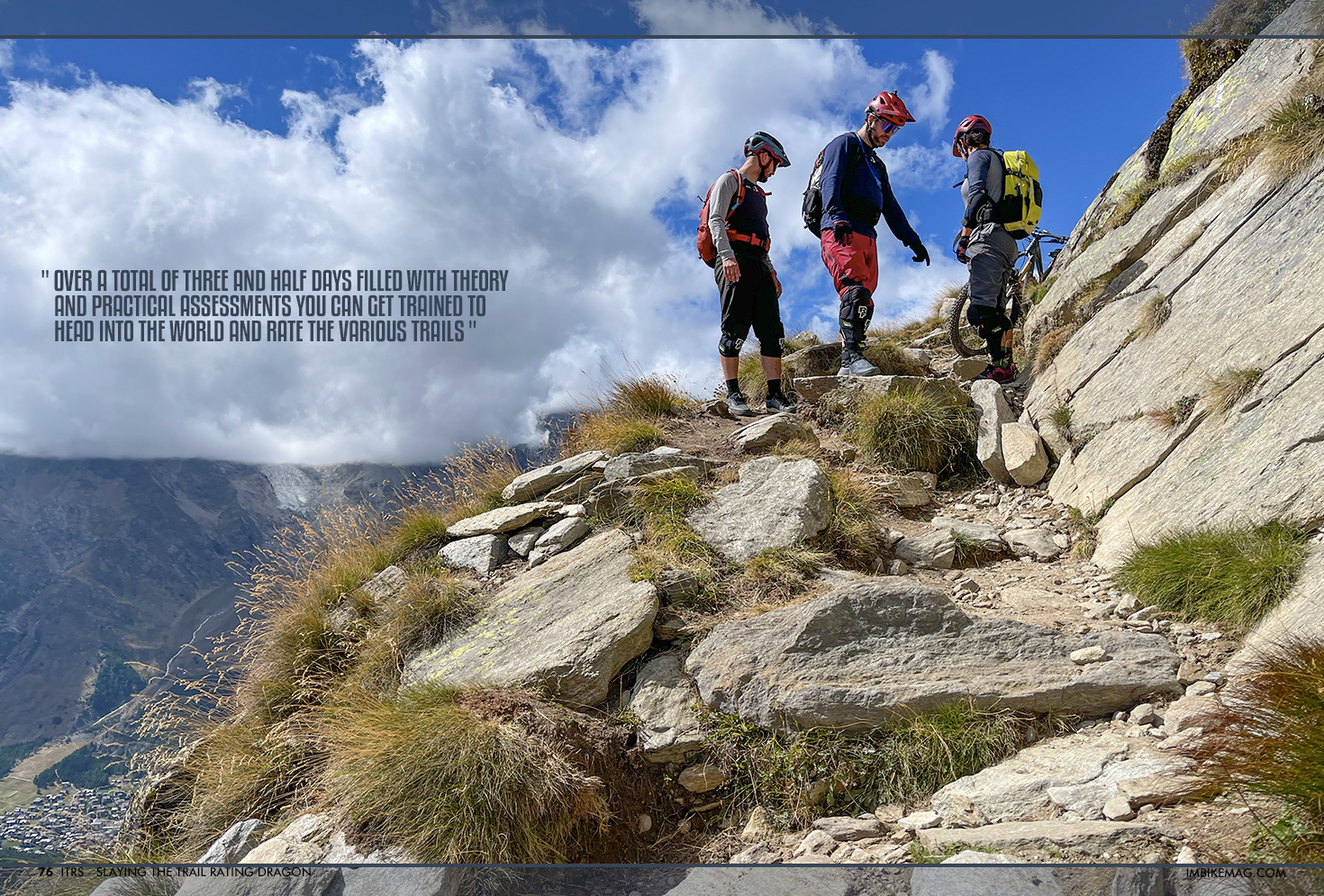
As you can imagine, there is some solid experience and good judgement needed to properly rate a trail and to make sure we’re all on the same page a new three level course system has been developed to train you to become a ‘ITRS Certified Trail rater’ (CTR). Over a total of three and half days filled with theory and practical assessments you can get trained to head into the world and rate the various trails according to the ITRS standard.
To help the trail raters do their job and to ensure a high level of quality, the app will be used to store data like distance, gradient, altitude information, details on trail features and all the other parameters that make up the ITRS system. Each trail rated with the APP by a CTR will get an official ‘ITRS Trail Certificate’. By storing this information in the app, ITRS Level 4 Experts will be able to review the work done by the CTRs which is part of an even higher level of certification that is offered to whole destinations. This ‘ITRS Destinations Certificate’ also includes checks of the maintenance concept and documentation to maintain the grading of the trails.
Now I can hear you think. Wait, trail rating is a job?! Where do I sign up for that? So we jumped on a call with Mischa Crumbach, one of the people behind ITRS to see what the courses are like, how to sign up and to find out more details on ITRS.
Mischa, thanks for taking the time to talk to us! Before I cut to the chase on how to become a trail rater, can you tell me a little about how the ITRS idea got started and how you got involved?
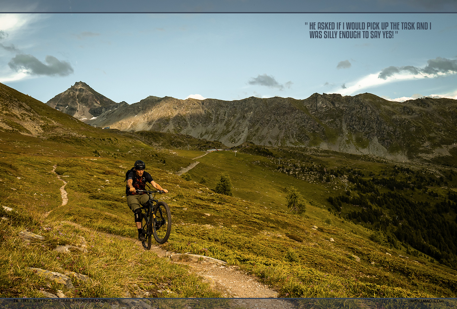
Yeah sure! So it all started when I was asked for a consulting job for the development of a new bike park project – the Swiss Bike Park in Oberried near Bern. While developing the project and talking to their destination partner Davos/Klosters, the project manager noticed that there were several ways to rate a trail and he included in their funding application to a Swiss government body that they would develop a uniform trail rating system. Not being a frequent biker himself he obviously didn’t know the size of that job and casually mentioned it to me, and when I questioned him on who was doing this monstrous task he asked if I would pick up the task and I was silly enough to say yes!
Haha, yeah it does seem like an enormous task with mountain biking being such a diverse sport. Until now, how many hours have roughly been spent on it?
Well, up until the first presentation at the IMBA Europe summit last year me and Edoardo Melchiori from IMBA Europe have spent about 1000 hours on developing the basics of the rating system. Once presented we were met with a lot of praise, but of course nothing is perfect first try, so we also received a lot of feedback which made us spend a good amount of time more into the project and we will keep on managing and updating it.
Who do you plan to work with on this project?
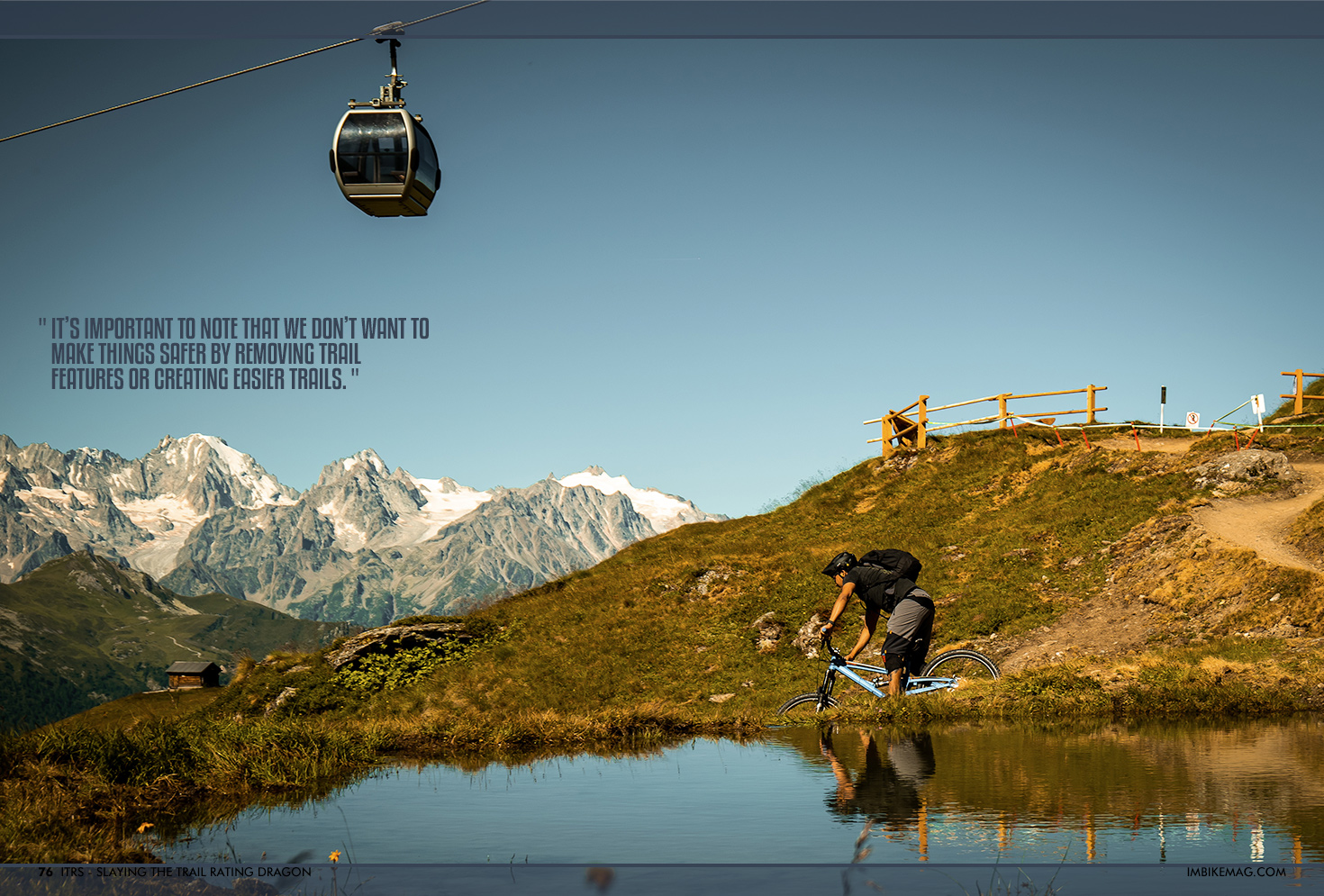
We want to work together with various partners. This can be new or already existing bikeparks, forestry commissions and local governments to help create more safety for bikers, guidelines for trail builders and help biking tourism become more attractive and structured. It’s important to note that we don’t want to make things safer by removing trail features or creating easier trails. Mountain biking needs to have difficult and exciting trails, we just want it to be easier to communicate and describe what people can expect.
Are you aiming to have all the current systems in place replaced by ITRS?
Well it would be amazing if that eventually happened, but I think it will be a slow process. If we can get to a point where all the new bike trails are built using the ITRS standard I’d be very happy. Then of course we can work together with existing destinations to upgrade their maps, signs and communication at the point when they are ready to have the signs replaced.
Which destinations are already working with ITRS?
Well, the initiators of the project, the Swiss Bike Park in Oberried and Klosters/Davos, have implemented the standard, and recently the Italian Lake Garda region updated all their signage on the existing routes using the ITRS system. We are also in touch with several different bikeparks and the forestry commission of Israel is interested that we come over to educate their staff so they can start working by ITRS standards.
Yeah, that seems like a pretty sweet job title ‘Trail Rater’. What exactly does it entail and how do I become one?
Well, we have a 3 level course spread out over 3,5 days. Part of it is theory inside, but a big part is outside on the trail to learn to assess the various trail features out on the mountain using the trail rating app that we are developing. If you are certified as an ITRS Trail Rater local governments, bikeparks etc can hire you to come rate their trails for them. If you use the ITRS trail rating app for the rating the trails will receive an official certificate stating the level of the trail.
Do I need any specific prior education to start the course?
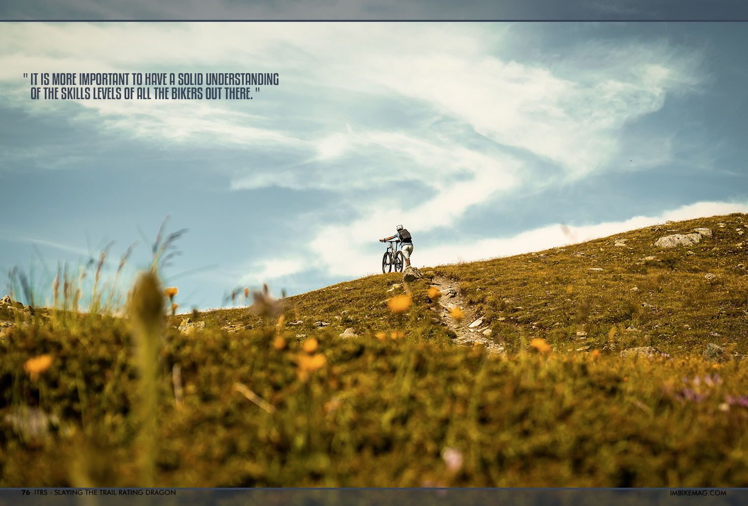
Not really, but of course a decent amount of mountain biking experience is a must in order to do your job properly. You don’t need to be a pro racer though. Actually, it is more important to have a solid understanding of the skills levels of all the bikers out there. For a pro rider, basically everything is easy! Ideally, you are a guide, skill instructor or trail builder.
If people are interested, where do they sign up?
Well I think it is best for them to have a look on our website first (https://itrs.bike/). There they can find more information about the project and ways where to reach us. The courses are currently given in Visp Switzerland and Torino, Italy, but if there are several people interested in a certain region we can travel to any location to set up a course.
Awesome. Thanks Mischa!
No worries, my pleasure!
So there you have it. A huge project that can have an equally huge impact on the way trails are built, coaches teach and how riders enjoy themselves on the trails. With a more solid rating in place, more people will be able to make the right decisions and (hopefully) we will see less accidents out on the trail.
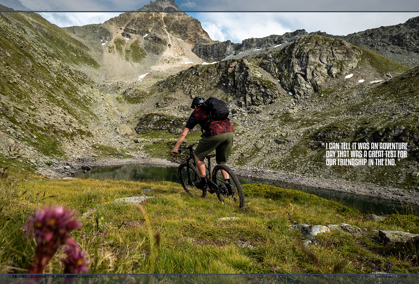
In case you were wondering how the story ended with my friend Bob? I can tell it was an adventure day that was a great test for our friendship in the end. The climb totalled at 1600m, I forgot there was an exposed hike-a-bike at the top to reach the start of the downhill, and while I was updating my swear word vocabulary Bob made some progress in overcoming his fear of heights. On the descent my mind was refreshed once again that switchbacks are an advanced technique that Bob didn’t possess yet. End conclusion is that both Bob and I hope ITRS will expand quickly into the new world standard.
By IMB
