
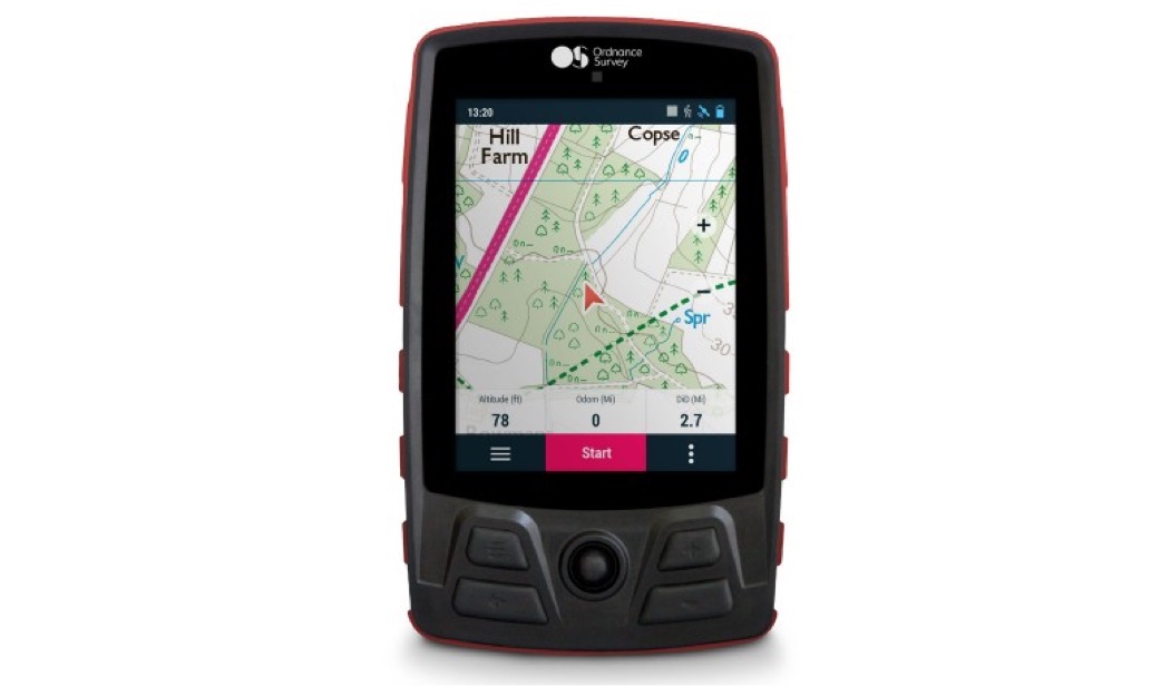
Know anyone who has a habit of getting lost? Ordnance Survey (OS) is back to offer off-road cyclists the best in British mapping with its new OS Trail Bike GPS unit.
The OS Trail Bike is packed with features to make the most out of every ride, including OS 1:50k Landranger mapping for the whole of Great Britain straight out of the box.
OS Director of Leisure Nick Giles said: “We listened to a lot of feedback from the first release of OS’ GPS units earlier this year and taken onboard what people told us.
“This has been influential in the development of the OS Trail Bike, bringing new features to our cycling computer range.”
Features include:
- A larger 3.7” transflective touchscreen display, so cyclists can see more mapping when they are on the move.
- Pre-loaded with £149.99 worth of OS 1:50k Landranger mapping data, so users can access national mapping coverage for free, straight out of the box.
- A QuickLock Stem Bike Mount in the box to easily connect the GPS to your handlebars with the QuickLock attachment on the back cover.
- Smoother transition between map layers and scrolling around the mapping, plus an ultra-responsive joystick and touchscreen which can both be used by riders wearing gloves.
- Free 6 x OS 1:25k Explorer map tiles, with the whole of GB available to purchase.
Users can easily connect accessories using Ant+ and Bluetooth Smart to track their performance and manage their rides, including heart rate, cadence and speed sensors. Plus, users can connect to Wi-Fi to transfer their routes and data between the GPS, OS Maps and the Go Cloud (by TwoNav).
With exclusive access to SeeMe, users can share a live broadcast of their rides straight from the OS Trail Bike with up to 20 people at a time, sharing information such as location, routes, statistics and more. SeeMe also includes I.C.E. (In Case of Emergency), allowing users to send their exact coordinates via email and SMS to chosen contacts, if they find themselves in difficulty.
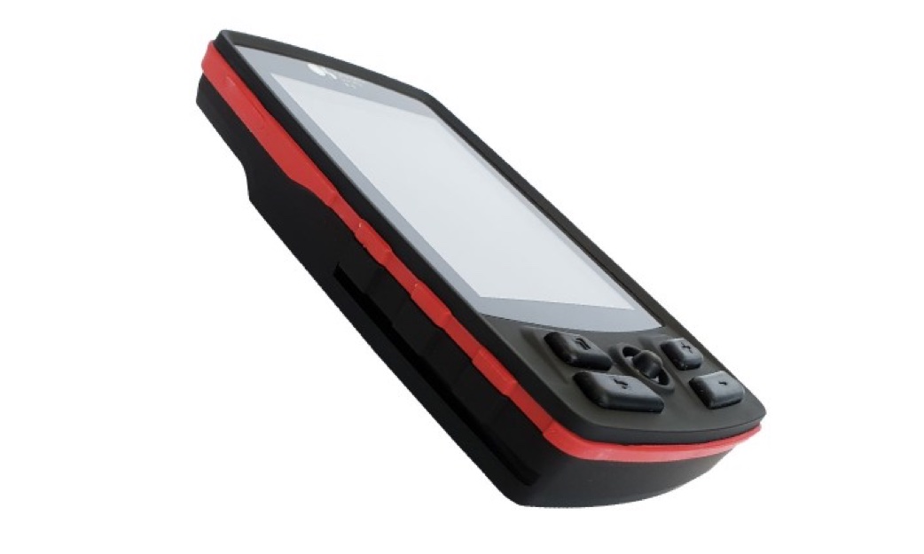
OS Trail Bike also comes with a six-month free subscription to SeeMe and a three-year free subscription to our award-winning OS Maps, so you can start getting routes onto your device straight away.
For more information visit http://www.os.uk/GPSTrailBike
Specifications:
- 3.7″‘ transflective touchscreen (640 x 480px) with backlight
- Touchscreen, button, and joystick control
- 20-hour battery life – 4000 mAh rechargeable lithium-ion battery (fixed)
- 16GB internal memory
- Water & dust resistant (IP67)
- QuickLock bike attachment (on back of device)
- Extreme temperature resistant: -10° to 60°C
- 3-axis compass
- Accelerometer
- Barometric altimeter
- Performance tracking
- Unlimited waypoints, routes, and tracks
- FullConnect™: ANT+™, Bluetooth® Smart, GPRS, Wi-Fi
- Physical dimensions: 80mm W x 130mm H x 20mm D
- Weight: 215g
- Operating memory: 2GB (RAM)
- USB 2.0 port
What’s in the box?
- OS Trail Bike GPS device
- QuickLock Stem Bike Mount
- OS 1:250k base mapping (installed on device)
- OS 1:50k Landranger GB mapping (installed on device)
- USB cable for data transfer and charging
- Wall charger
- Quick Guide and Warranty
- 3-year OS Maps subscription (to redeem)
- 6-month SeeMe subscription (to redeem)
- 6 x OS 1:25k map tiles (to redeem)
Users will need a Windows PC or Apple Mac to install map tiles onto OS GPS devices.